Thinking about a move to the Hāmākua Coast on the Big Island? You might be drawn to the green cliffs, ocean views, and quieter pace, but you also want a clear picture of daily life and costs. Quick note first: Mountain View is in the Puna district, not on the Hāmākua Coast. In this guide, you’ll learn how the towns differ, what trade-offs to expect, and what to check before you buy so you can decide with confidence. Let’s dive in.
Hāmākua Coast at a glance
Hāmākua generally refers to the northeast stretch of the Big Island from northern Hilo up toward Waipiʻo, a coastline known for steep valleys, former sugar towns, and lush landscapes. For clarity, Mountain View is in Puna and not part of this coast. You’ll use Mamalahoa Highway (Route 19) for everyday travel between Hilo, Honokaʻa, and the smaller towns. For context on the district and history, see this overview of Hāmākua.
Town-by-town snapshot
Each town offers a different mix of services, parcel types, and commute realities. Services concentrate in Honokaʻa and Hilo, with smaller settlements in between.
Honokaʻa: main service hub
Honokaʻa is the largest town on the Hāmākua Coast and a local center for groceries, dining, school, and basic medical care. It sits along Route 19, about 40 to 45 miles by road from Hilo. Expect a mix of in-town homes, nearby ranch parcels, and ocean-view properties. Learn more about the town’s role and location on Honokaʻa’s page.
Paʻauilo: rural and low-key
Paʻauilo is a small plantation-era village with agricultural lots and rural parcels. It offers Route 19 access and an easy drive to Honokaʻa for shopping and school. Inventory is often older homes and acreage. See a quick snapshot on Paʻauilo’s page.
Pepeʻekeo: close to Hilo
Pepeʻekeo sits just north of Hilo-area conveniences, with coastal views and plantation-era neighborhoods. It is commonly cited as relatively affordable among coastal towns on the island. Many buyers choose it for proximity to Hilo’s larger services.
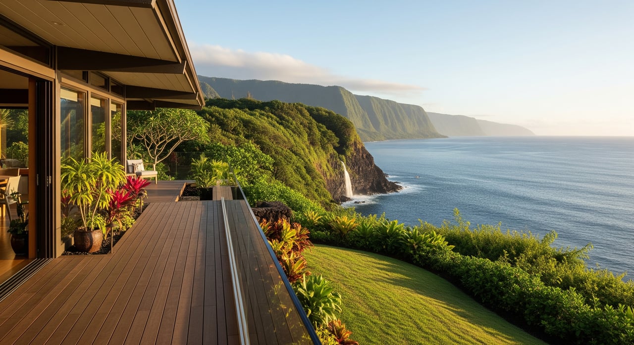
Laupāhoehoe: dramatic coastline
Laupāhoehoe highlights the coast’s rugged beauty and tsunami history. You’ll find a small town center, a scenic point, and limited sandy beaches. Parcels can vary from modest in-town lots to larger mauka acreage.
Hakalau and Honomū: small-town options
These small communities sit between Hilo and Honokaʻa with agricultural lots, former sugar infrastructure, and access to mauka elevations. Expect limited retail in town and regular drives to Hilo or Honokaʻa. Find context on Hakalau.
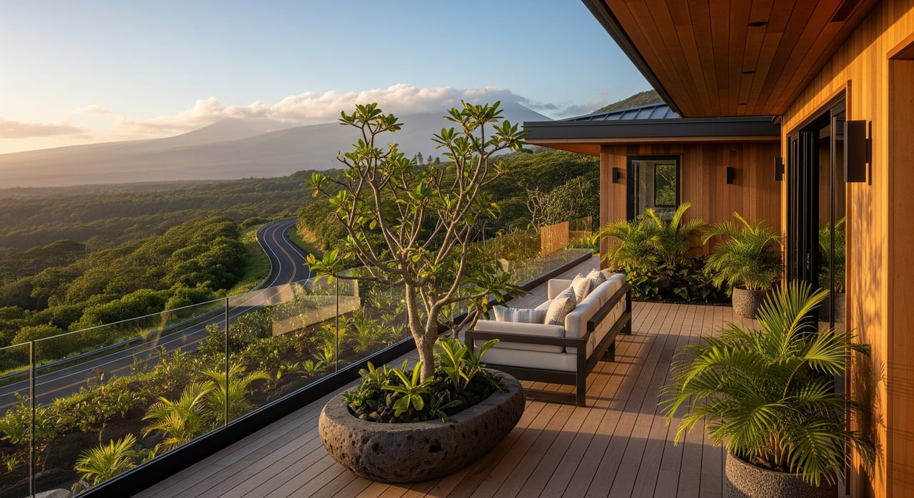
ʻĀhualoa and mauka acreage
ʻĀhualoa and nearby inland areas offer larger agricultural parcels and cooler elevations. You may see farming, ranching, and homes on big lots. Many properties use catchment and septic systems, so plan for maintenance.
Climate, hazards, and what they mean for you
- Rain and microclimates: Hāmākua’s windward exposure brings frequent rain and fast shifts with elevation. Lush growth is great for orchards and gardens, but moisture adds maintenance needs and can affect roads and roofs. See the Hāmākua overview for context.
- Floods, gulches, and slopes: Steep valleys and heavy rainfall can create localized flooding and landslide risk near streams and gulches. Confirm parcel-specific flood exposure before you make an offer.
- Tsunami exposure: Low-lying coastal parcels can sit in tsunami evacuation or high flood risk zones. Review county maps and plan evacuation routes.
- Lava hazard: Hāmākua is generally lower lava risk than Puna, but always verify the specific parcel on the USGS lava hazard map.
Utilities, internet, and services
- Power: Electricity is provided by Hawaiʻi Electric Light Company under Hawaiian Electric Industries. Outages and occasional safety shutoffs can occur in high-risk conditions. Learn about the utility context on Hawaiian Electric Industries.
- Water and wastewater: Town centers may have county water; many mauka properties rely on rain catchment or private systems. Sewer service is limited outside Hilo, so most rural parcels use septic. Verify service areas and permits using Hawaii County’s GIS public layers.
- Broadband: Service quality varies street by street. Some areas have fiber or cable, while others use fixed wireless or satellite. For accuracy, use the FCC map tools described here: how to use the FCC map.
- Healthcare and schools: Hāmākua offers small clinics and local schools, with major hospital services in Hilo. Factor drive times to Hilo Medical Center into your decision.
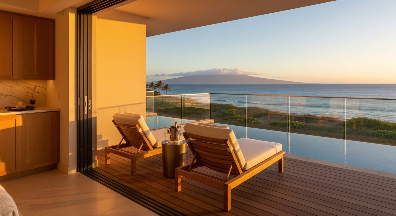
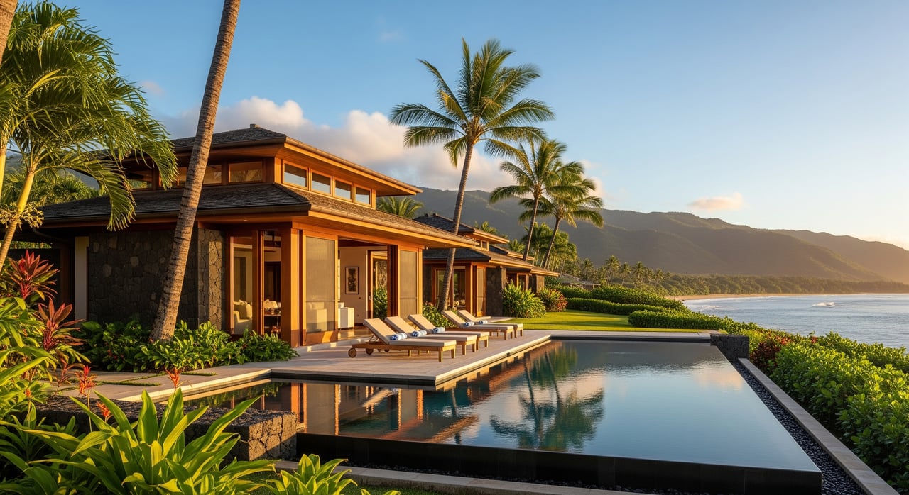
Real estate reality and carrying costs
- Property types: Expect rural parcels, agricultural zoning, and plantation-era homes. Oceanfront inventory is limited, which affects pricing and time on market.
- Taxes: Hawaiʻi’s effective property tax rates are relatively low compared with many states, but assessed values in desirable areas can be high. Review the county’s current schedule at Hawaii property tax rates.
- Insurance: Flood, wind, and hurricane coverage can be significant, especially for coastal or flood-prone parcels. Ask for early quotes and review lender requirements under the National Flood Insurance Program.
- Maintenance: High rainfall and salt air increase upkeep for roofs, windows, and exterior finishes. Budget for mold mitigation, gutter work, and road access maintenance on private driveways.
Smart checks before you buy
- Confirm location: If you are comparing listings across the island, note that Mountain View is in Puna and not part of Hāmākua. Use TMK and county records to confirm district and community.
- Verify water and wastewater: Ask whether the property is on county water or catchment and if it uses septic. Confirm permits and service areas using the county GIS public layers.
- Check flood and tsunami exposure: Review FEMA flood zones and county tsunami maps early. Understand lender insurance requirements tied to the National Flood Insurance Program.
- Review lava and slope risk: Confirm the parcel’s zone on the USGS lava hazard map and ask about recent slope stability or drainage work.
- Assess internet and power: Use the FCC mapping guidance here — how to use the FCC map — and ask the utility about outage history.
Is the Hāmākua Coast a fit for you?
Hāmākua gives you sweeping views, space for orchards or small ag, and close-knit town centers. In exchange, you accept more rain, variable infrastructure, and longer drives for major services. If you want rural life with ocean drama and room to grow, it can be a rewarding choice.
If you want a clear, buyer-first plan for Hāmākua — from parcel checks to negotiation — connect with Steven Moody. As a boutique, buyer-only advisor with tri-island reach, Steven will help you compare options across the Big Island and beyond, vet the details, and secure the right property with confidence.
FAQs
Is Mountain View part of the Hāmākua Coast?
- No. Mountain View is in the Puna district, whereas Hāmākua spans the northeast coast between Hilo and Waipiʻo.
How far is Honokaʻa from Hilo for commuting?
- Honokaʻa is about 40 to 45 miles from Hilo by road along Route 19, the main coastal highway connecting the towns.
Do Hāmākua homes have county water and sewer?
- Coverage is mixed — many rural parcels use catchment and septic — so verify the address on the county’s GIS public layers before you buy.
Is lava risk a concern on the Hāmākua Coast?
- Hāmākua is generally lower risk than Puna, but always confirm a property’s specific zone on the USGS lava hazard map.
Will I need flood or tsunami insurance for a coastal parcel?
- It depends on FEMA flood maps and lender rules — review requirements under the National Flood Insurance Program and verify the address early in your process.